Happy Thanksgiving
Wow, what a blustery windy night. Earplugs definitely in. We raised the satellite dish up last night only long enough after dinner to do a little taping of some shows and then took it back down again for the night. Hopefully the shows we taped are not "pixilated", especially Outlander.
Today we are taking the Burr Trail Scenic Backway, the beginning of this road is located in Boulder, Utah and ends at Glen Canyon National Recreation Area or north to Torrey. We opted for the "short" version and turned around part way down the road.
"The Burr Trail Scenic Backway winds through deep slickrock canyons and rolling desert forests while providing access to the eastern portion of Grand Staircase-Escalante National Monument, the southern half of Capitol Reef National Park, and a northern section of Glen Canyon National Recreation Area. The backway passes by Deer Creek Campground and Trailhead, through Long Canyon, into the heart of the Circle Cliffs, and down the Burr Trail Switchbacks that drop nearly 800 feet in about a mile while zigging and zagging down the Waterpocket Fold. Various vista points along this backway offer thrilling views of sprawling scenery—of buttes, mesas, plateaus and mountain peaks. The Burr Trail connects with Highway 276, just north of Bullfrog Marina on Lake Powell."
Who was it named after?
John Atlantic Burr, born 1846 on the SS Brooklyn in the Atlantic Ocean, the Burr Trail is named after him. He founded the town of Burrville, Utah, in 1876 and then created a cattle trail to move between ranges and the market. The trail went through Burr Canyon and came to be known as The Burr Trail.
Waterpocket Fold is the major geologic feature that defines Capitol Reef National Park. It is a buckle in the earth's surface, almost 100 miles long, running north-south from Thousand Lake Mountain down to Lake Powell. Along The Fold, rocks have been pushed upward and erosion has cut through the layers, creating deep narrow canyons and interesting formations. (Google)
After coffee and scones we were on the road at 8:30 am on our way to Boulder. Again a gorgeous drive down Hwy 12 as you saw from yesterday's blog.
First stop, Deer Creek Trail and Campsite. The fall colours against the red rocks and blue sky were stunning.
Next up s the Long Canyon, just like it's name says.

The road led us out of the Long Canyon to the Long Canyon Overlook looking towards Capital Reef National Park.
Coming out of the Long Canyon you enter an area called "The Flats". Here we noticed some campers boondocking.
Before the end of the flats ... the pavement ends and you enter Capital Reef National Park.
We also noted Peakaboo Rock, an arch.
When you get off the plateau, the Waterpocket Fold is very visable and great to view just before you go down the Burr Trail Switchbacks.

Yup I think I can drive that! Here we go.
We drove down the switchbacks and drove to where I have marked with an arrow and turned around.

Here are some pictures of the backside of the waterpocket fold. Absolutely gorgeous colours.


John Atlantic Burr, born 1846 on the SS Brooklyn in the Atlantic Ocean, the Burr Trail is named after him. He founded the town of Burrville, Utah, in 1876 and then created a cattle trail to move between ranges and the market. The trail went through Burr Canyon and came to be known as The Burr Trail.
 |
| This is an aerial view of the switchbacks from google. |
Waterpocket Fold is the major geologic feature that defines Capitol Reef National Park. It is a buckle in the earth's surface, almost 100 miles long, running north-south from Thousand Lake Mountain down to Lake Powell. Along The Fold, rocks have been pushed upward and erosion has cut through the layers, creating deep narrow canyons and interesting formations. (Google)
After coffee and scones we were on the road at 8:30 am on our way to Boulder. Again a gorgeous drive down Hwy 12 as you saw from yesterday's blog.
 |
| Hwy 12 on the way to Boulder, Utah |
 |
| Deer Creek Trail. |
 |
| Deer Creek Trail |
 |
| Looking down at Deer Creek Campsite, mostly for tenters, no turn around area. |
 |
| View from the Deer Creek Trail parking lot. |
 |
| The road into Deer Creek Valley |
The road continued on to the Steep Creek Valley.
 |
| Looking down at the Steep Creek Valley and the start of Long Canyon. |
 |
| Steep Creek |
 |
| Start of Long Canyon |
 |
| View of the road heading out of Steep Creek Valley. |
 |
| Entering the Long Canyuon |

 |
| The beginnings of an arch. |
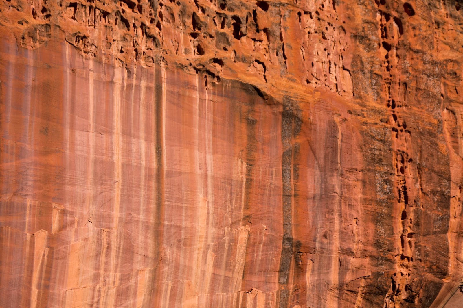 |
| Look at the colours in the rock. |
 |
| Long Canyon |
 |
| Long Canyon |
 |
| Long Canyon |
 |
| Long Canyon |
 |
| Long Canyon Colours |
 |
| Long Canyon |
 |
| Long Canyon |
 |
| Long Canyon |
 |
| Long Canyon |
 |
| Long Canyon |
 |
| Long Canyon Overlook |
 |
| Long Canyon Overlook |
 |
| Long Canyon Overlook - Looks like a castle on a hill. |
 |
| Long Canyon Overlook |
 |
| Long Canyon Overlook |
 |
| Long Canyon Overlook - you can really see the layers of rock. |
 |
| What a view for boondocking. |
 |
| Boondocking site |
Before the end of the flats ... the pavement ends and you enter Capital Reef National Park.
We also noted Peakaboo Rock, an arch.
 |
| Peakaboo Rock |
 |
| Peakaboo Rock |
 |
| Coming to the end of the flats. |
 |
| The road down from the flats. |
 |
| Swap Mesa |

 |
| Yup, really cold and windy, had to take my visor off or lose it while I scoped out the Burr Switchbacks from up top. |
 |
| Burr Trail Switchbacks |
 |
| Burr Trail Switchbacks |
 |
| Burr Trail Switchbacks |


 |
| This part of the Waterpocket Fold is known as the Oyster Shell Reef. |

Back up the switchbacks and up the hill, over the flats towards Boulder Mountain and Duffy Mesa.
Back through the Long Canyon and when we got back to Deer Creek we saw a whole herd of Llamas. A hiking crew were using them as their pack animals so they did not have to carry their stuff on the hike.
The drive home for lunch seemed to take no time at all. We thought that Highway 12 was fabulous, with this drive, I'm at a loss of words to describe. The words "fantastic" or "gorgeous" or "amazing" just does not do it justice.
What a great day.
 |
| Boulder Mountain and Duffy Mesa |
 |
| Llamas at Deer Creek Trailhead |
What a great day.
Wow! An amazing drive and day!
ReplyDelete